Serayu and Opak in numbers: a pilot basin of 12,370 km², 15 million people, and 851 springs
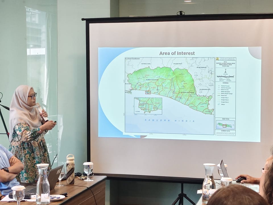
The second presentation of Day 2 was given by the Balai Besar Wilayah Sungai Serayu-Opak (BBWS-SO). It walked the room through a thirty-eight-slide profile of the basin selected for the pilot. The framing was technical and direct: here is what we are working with, and here is what is constraining us.
The basin is a composite of two river-basin territories. WS Serayu Bogowonto, classified as National Strategic, covers 7,380 km² with a mean annual rainfall of just over 3,000 mm and an irrigation area of nearly 83,000 ha in Central Java alone. WS Progo Opak Serang, classified as Cross-Province because it spans Central Java and DI Yogyakarta, covers 4,990 km² with about 2,200 mm of rainfall a year and around 16,000 ha of irrigation in DI Yogyakarta. Together, the two territories make up 12,370 km² — roughly nine percent of Java — and host 15.22 million people, also about nine percent of the island's population. Forty-three watersheds, 786 km of first-order rivers, 276 km of coastline, fifteen regencies and cities, two provinces.
| Parameter | WS Serayu Bogowonto | WS Progo Opak Serang |
|---|---|---|
| Status | National Strategic | Cross-Province (Jateng–DIY) |
| Area | 7,380 km² | 4,990 km² |
| Mean rainfall | 3,042 mm/year | 2,199 mm/year |
| Irrigation area | 82,781 ha (Central Java) | 16,093 ha (DIY) |
The constraint maps are revealing. WS Progo Opak Serang has fifty sub-districts that flood repeatedly; water service reaches only 68.36 percent of demand, leaving a deficit of about 4.87 m³/s; some 131,500 hectares — more than a quarter of the basin — are classified as critical land; and the territory carries roughly 17 million cubic metres of volcanic sediment a year. WS Serayu Bogowonto carries its own pressures: about 4,100 hectares of flood-prone land, a piped-water service covering only 63 percent of household raw-water needs, ongoing conversion of protected areas, and a sedimentation rate of four to five millimetres a year at the Mrica reservoir.
Two operational findings carry weight for the project. The synchronisation between sub-national PSDA programmes and the basin-level RPSDA runs below 50 percent — a polite way of saying that planning cycles do not align. And operations and maintenance are repeatedly constrained by the AKNOP budget, by human-resource ceilings, and by gaps in infrastructure data.
The basin holds an estimated 9.57 billion m³ of surface water a year. Planned new dams could add 66.50 m³/s of firm yield. The groundwater inventory includes 394,502 hectares of productive land yielding 5–10 litres per second, a recharge area of about 4.27 million hectares in the Yogyakarta-Sleman groundwater basin, and — in the BBWS's own count — 851 springs alongside 1,492 BJP springs and 250 wells. The Gunungkidul karst plateau adds seven underground rivers, of which only a fraction is being utilised: SBT Baron has an estimated 4,000 L/s of potential against just 20 L/s in current use; SBT Seropan, 800 L/s against 336 L/s.
The institutional capital is, by any honest measure, a strength. The basin already hosts 191 environmental community groups, 58 TKPSDA members, 32 DSDA members, and 142 river-care community groups. Farmer institutions count 8 IP3A, 16 GP3A, and 474 P3A. For the August–September 2026 fieldwork campaign, this network is not infrastructure that has to be built. It is infrastructure that has to be respected.
The presentation closed with a checklist tied to Law 17/2019: conservation, utilisation, hazard control, information systems, and community empowerment. The project's six work packages will need to map cleanly onto these five pillars if the framework is to land in formal planning documents.